Squally
showers to start the morning off with and some strong gusts of wind. Things are
starting to brighten up at about 10:30 hours and the wind reducing in intensity. We still have some
more showers around in the area so I expect some squally conditions if they
pass our way.
Attached
some pictures:
- A casualty. Had a
branch come down on a Cedar Tree.

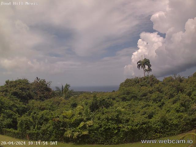
- The view first
thing this morning. Low cloud and showers. In the twilight zone.

- Guadeloupe radar at
about 09:25 hours, showing St Kitts and Nevis (marked in red) in-between
two areas of showers. The one to the east moving towards us.

Wind
measurements to give an indication of what we had up in the Nevis Peak
foothills so far.
|
High
|
Low
|
Average
|
|
|
Wind Speed
|
20.0 mph
|
4.0 mph
|
12.3 mph
|
|
Wind Gust
|
34.0 mph
|
--
|
24.2 mph
|
|
Wind Direction
|
--
|
--
|
ENE
|
So
far at my location the rain measure is 0.45 inches.


No comments:
Post a Comment